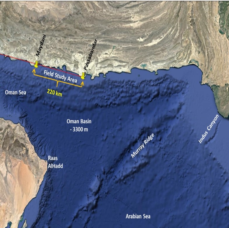
Project: Monitoring & Modeling of Makran Coastlines
Client: Ports and Maritime Organization
Background: A national infrastructure program was initiated to study the climatology, geology, hydrodynamics, and geomorphology of Iran’s coastlines, providing a foundation for future development.
Actions: MEWE modeled wind, wave, and current fields for the North Indian Ocean and the Sea of Oman, deriving related time series and rose diagrams. Models were calibrated and validated with field data. Tropical storms, storm surges, and their coastal impacts were analyzed.
Results: Potential earthquake-induced tsunamis were studied in detail, with inundation maps produced. Coastal morphological studies included shoreline classification, change detection, and sediment cell mapping.